Understanding the history of Portland OR is essential for anyone looking to buy property in the Pacific Northwest today. The city's evolution from a dense timber settlement along the Willamette River into a major metropolitan hub directly dictates modern zoning, neighborhood layouts, and home values.
As we navigate the 2026 real estate landscape, buyers often find that historical preservation and early city planning still control what can be built and renovated. Knowing the background of these early developments gives you a distinct advantage when evaluating property investments across Multnomah County.
The Founding of Portland: From a Coin Toss to a Maritime Hub
The initial settlement of the area began in 1843 when William Overton and Asa Lovejoy filed a land claim on the west bank of the Willamette River. Just two years later, Francis Pettygrove and Lovejoy famously flipped a penny to determine the city's name. Pettygrove won the 1845 coin toss, naming the site after his hometown in Maine, and the city officially incorporated in 1851.
Because of its prime location near the confluence of the Willamette River and the Columbia River, Portland quickly grew into a massive maritime trade and timber powerhouse. The rapid clearing of trees to make way for new roads left behind countless stumps, earning the growing settlement the enduring nickname of Stumptown.
This explosive early industrial growth forced city leaders to establish a compact downtown Portland street grid with short blocks. That foundational layout still benefits today's residents by creating highly walkable commercial districts and limiting urban sprawl. Early zoning decisions made during this maritime boom continue to influence where heavy commercial and residential zones sit relative to the water.
City Planning: How Parks and Transit Shaped the Housing Market
Long before modern environmentalism took hold, Portland planners prioritized public green spaces and reliable public transit. The city began acquiring land for Washington Park in 1871, establishing a massive forested retreat right next to the downtown core. Decades later, Mt. Tabor Park was established in 1909 on a dormant volcanic cinder cone in East Portland.
These early investments in public parks created anchor points for residential development that still command premium property values today. Homes located within walking distance of Washington Park or Mt. Tabor routinely see higher buyer demand and faster sales cycles.
Beyond parks, the launch of the MAX Light Rail system in 1986 fundamentally altered urban density and commute patterns across the region. By 2026, properties situated near established MAX stations hold a distinct market advantage, offering residents predictable commute times without relying on the highway system. Transit-oriented development has kept Portland's housing market highly localized around these historical infrastructure investments.
Portland's Architectural Evolution by Quadrant
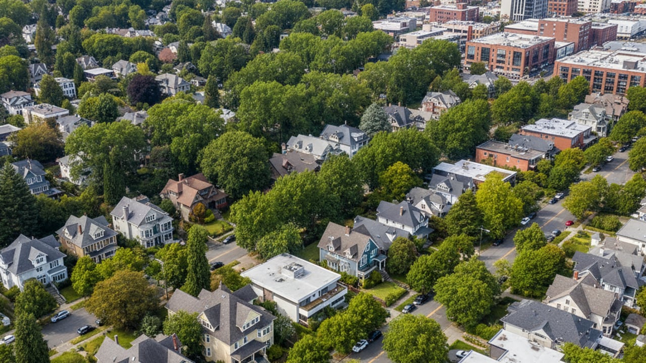
The architectural styles found across Portland serve as a physical timeline of the city's economic expansions. During the late 19th century, an economic boom funded the construction of massive, ornate Victorian homes. These grand properties are primarily concentrated in older, inner-city neighborhoods near the commercial center.
As the city expanded eastward in the early 20th century, buyer preferences shifted heavily toward Craftsman bungalows. This style dominates the residential streets of East Portland, offering deep porches and built-in woodwork that remain highly sought after in the current market. The widespread availability of these bungalows makes the eastside quadrants a major focus for buyers seeking historic charm.
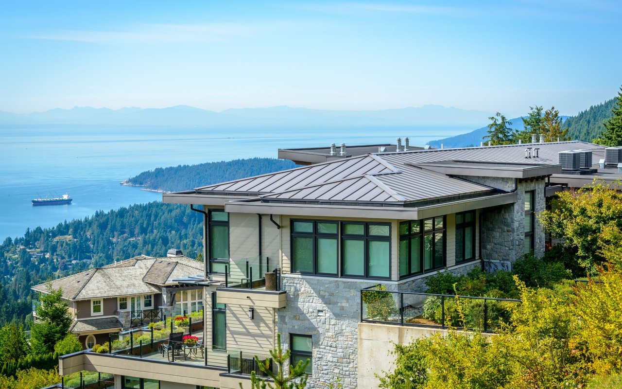
By the mid-20th century, development pushed further out into the West Hills and expanding suburban rings, bringing a wave of mid-century modern construction. These homes feature large windows and open floor plans designed to capture views of the Cascade Range and the surrounding forests. Today, beautifully preserved mid-century modern homes command luxury price tags from buyers who value architectural history.
Historic Neighborhoods and the 2026 Portland Housing Market
Purchasing a home in one of Portland's historic districts requires a solid understanding of local preservation guidelines. These designations are designed to protect the architectural integrity of the streetscape, meaning homeowners face strict rules regarding exterior modifications. Everything from window replacements to exterior paint choices often requires approval from a historic review board.
Buyers navigating these neighborhoods must carefully balance the desire for modern updates with strict historical compliance. While these regulations can complicate renovation timelines, they also protect property values by preventing out-of-character developments from altering the neighborhood. Investing in a historically designated area offers long-term stability in exchange for these rigorous maintenance standards.
Ladd's Addition: Diagonal Streets and Rose Gardens
Ladd's Addition stands out as Portland's oldest planned residential development, featuring a highly unusual diagonal street grid. The neighborhood is anchored by central rose gardens and mature elm trees, creating a distinct visual departure from the standard city grid. Strict historic preservation guidelines ensure the area retains its original Craftsman and early 20th-century architecture.
This unique layout and rigorous preservation effort drive intense buyer competition. In 2026, the median home price for a property in Ladd's Addition sits at approximately $1,100,000. Buyers are willing to pay this premium for the architectural consistency and immediate proximity to vibrant commercial corridors.
Irvington: Grand Architecture and Historic Preservation
Located in Northeast Portland, Irvington is renowned for its large, well-preserved early 20th-century estates and sprawling lots. The neighborhood's historical prestige is fiercely protected by some of the most comprehensive historic district rules in the city. These regulations maintain the grand, uniform appearance of the streetscape, which heavily limits teardowns or modern infill construction.
The combination of expansive floor plans and protected historical status makes Irvington a top-tier residential market. Buyers looking to purchase a historic home here in 2026 can expect median prices ranging from roughly $1,000,000 to $1,190,000. Owning property in this district requires a commitment to sourcing period-appropriate materials for any exterior repairs.
The Pearl District: From Industrial Warehouses to Modern Lofts
The Pearl District offers a completely different historical narrative, transitioning from a gritty maritime and rail yard hub into a dense urban center. For decades, this area was dominated by industrial warehousing tied to the nearby Willamette River freight routes. A massive urban renewal effort in the late 20th century transformed these abandoned brick structures into high-end residential lofts and commercial spaces.
Today, the neighborhood is a prime example of successful adaptive reuse in real estate. Buyers interested in the Pearl District's unique urban environment will find a 2026 median home price of approximately $345,000, largely reflecting the dense condominium market. This area appeals strongly to buyers seeking walkable access to transit, dining, and the downtown core without maintaining a single-family yard.
Frequently Asked Questions About Portland's History
What is Portland, Oregon known for historically?
Historically, the city is known as a major 19th-century maritime and timber hub situated near the confluence of the Willamette and Columbia rivers. It served as a critical deep-water port for the Pacific Northwest long before the establishment of extensive rail networks. This early industrial dominance established the foundational wealth that funded its historic architectural districts.
Was Portland ever the capital of Oregon?
No, Portland was never the capital of the state or the Oregon Territory. Oregon City originally served as the first territorial capital before the seat of government moved to Salem. While Portland quickly became the largest city and economic center, Salem has maintained its status as the political capital.
Why is Portland called Stumptown?
The nickname Stumptown originated in the mid-1800s during a period of explosive population growth and development. Residents cut down massive tracts of timber so quickly to build roads and homes that they left the stumps behind. People literally had to navigate around these stumps to cross the early dirt streets of the settlement.